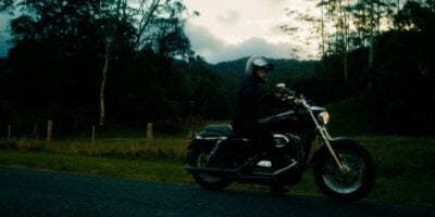


The idiom, “can’t see the forest for the trees,” rings true when it comes to travel. The most obvious holiday destinations are cities (which we’ll call “trees”). If someone visits London or New York, it’s fair to say they haven’t really seen England or America (i.e., “the forest”). And the same goes for popular NT destinations like Darwin and Alice Springs.
Just as someone might come back from a trip to London and say they love England, visiting Darwin or Alice Springs will leave you with warm feelings towards the Northern Territory. But to really get to know the place, to see both the forest and the trees, a road trip is the best way to travel the NT.
The NT has a land area of approximately 1.4 million square kilometres and NorthernTerritory.com has loads of suggestions for planning an NT driving holiday. Whether you’re looking for a waterfall hopping adventure beginning in Darwin, a hiking and rock art journey through Kakadu National Park or a two-week, 2000-kilometre road trip from Alice Springs to the Top End, they’ve got you covered.
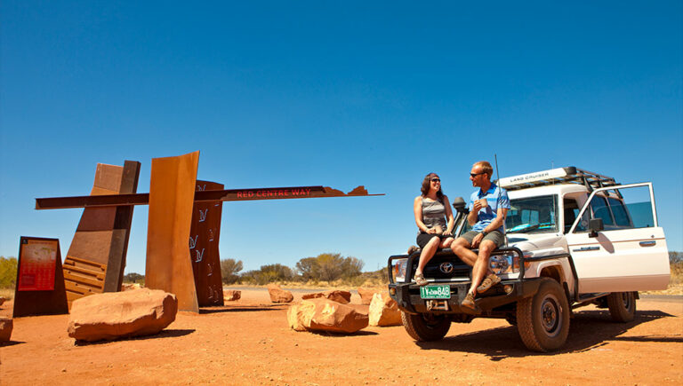
To get going, here’s our itinerary for a five-day road trip along the Red Centre Way, driving from Alice Springs to Kings Canyon and Uluru.
Day 1 – Alice Springs to Glen Helen Gorge
Credit: Tourism NT/The Salty Travellers
A drive along the Red Centre Way introduces you to the many highlights of Central Australia. You can start by driving west from Alice Springs into the West MacDonnell Ranges (known as Tjoritja in Arrernte language). After 130 kilometres, you’ll come across the towering sandstone wall of Glen Helen Gorge. At Glen Helen you can look over to Mount Sonder, the Territory’s fourth highest mountain. Make sure to take your swimmers and read the signage to navigate the swim across the gorge and take the short hike down the river to the vertical slabs of stone known as the Glen Helen Organ Pipes.
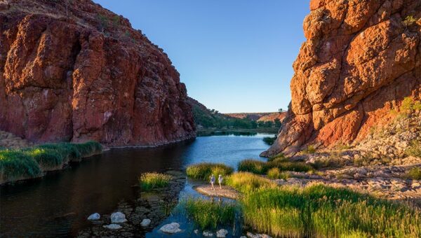
Day 2 – West MacDonnell Ranges to Kings Canyon
Credit: Tourism NT/Nic Morley
Kings Canyon is a humbling natural wonder featuring 300-metre-high red rock cliffs and views of the open desert below. It’s located 230 kilometres west of Glen Helen via the Stuart and Lasseter Highways. Along the way, you’ll pass the Gosses Bluff Crater, known as Tnorala to the Western Arrernte people, which is believed to be an ancient impact crater, possibly caused by an asteroid hit many millions of years ago. Tnorala is not only regarded by NASA as one of the most significant impact structures in the world, but it plays a prominent role in Western Arrernte Dreaming.
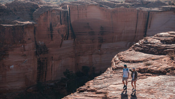
Day 3 – Explore Watarrka National Park
Credit: Tourism NT/Matt Glastonbury
Kings Canyon is part of the Watarrka National Park, which is not a place you want to skim past. Watarrka is home to several walking tracks and accommodation options. The Kings Canyon Rim Walk is a three-hour hike spanning the canyon’s towering sandstone walls and palm-filled crevices, while also offering panoramic views of the surrounding sand dunes.
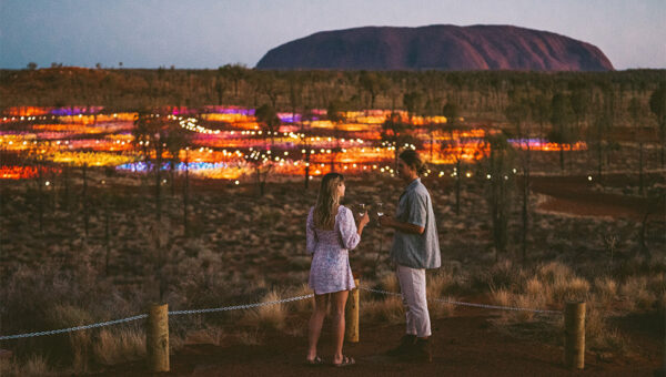
It’s not uncommon to have a spiritual experience in Watarrka, especially as the Rim Walk leads to the Garden of Eden, a stunning rock hole surrounded by rare native plants. Head to Kings Canyon Resort for a unique outback dining experience: take in the cosmic wonder of the night sky over a four-course dinner made up of locally sourced ingredients.
Day 4 – Kings Canyon to Uluru
Credit: Tourism NT/Salty Aura
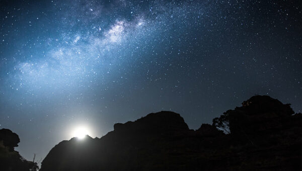
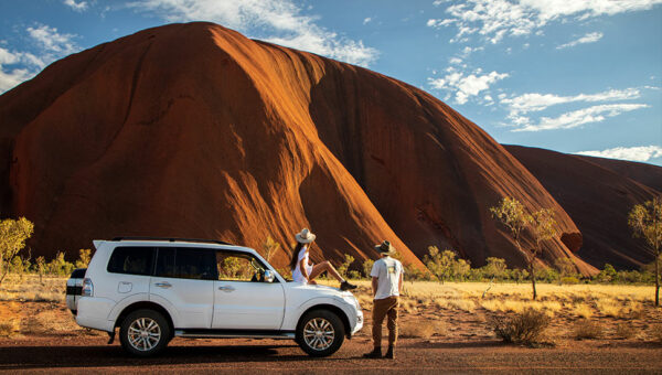
The Uluru-Kata Tjuta National Park is a 300km drive southwest of Kings Canyon via Luritja Road and Lasseter Highway. On the way down, you’ll pass Mount Conner, a flat-topped mountain that is often mistaken for the larger Uluru from a distance. Once you’re in the vicinity of Uluru itself, however, there’s no mistaking the sandstone monolith.
At its highest point, Uluru is 348 metres above the ground (that’s taller than the Eiffel Tower in case you were wondering). In all, Uluru occupies an area of 3.33 sq km, the entirety of which takes on a majestic red glow at sunrise and sunset.
Uluru sits on Pitjantjatjara country and holds major significance for the local Aṉangu, who regard it as a resting place for the region’s ancient spirits.
Day 5 – Uluru to Kata Tjuṯa
Credit: Tourism NT / The Salty Travellers
Just 40 kilometres west of Uluru is Kata Tjuṯa, another natural wonder that’s of equal significance to the Aṉangu and equally capable of casting a spell over respectful visitors. Kata Tjuṯa isn’t as postcard-recognisable as its world famous neighbour, but that’s probably due to its unwieldy expanse. See, while Kata Tjuṯa is no less awe-inspiring than Uluru, it’s made up of 36 domed rock formations that cover more than 20 square kilometres. So, it’s a bit harder to put on a fridge magnet.
The tallest of the Kata Tjuṯa rock formations is taller than the Empire State Building, which was the world’s tallest building for half of the 20th century. Like the Empire State Building, the rocks of Kata Tjuṯa begin to glow come evening time. Though, while the domes appear to be a deep, rusty red from a distance, up close the rock formations have a marbled, tabby cat appearance.